

Back to the main Himalayan Pilgrim page.
These photos are supplemental to the ones found in my book Himalayan Pilgrim: One Man’s Treks Through Nepal’s Langtang and Helambu Regions.
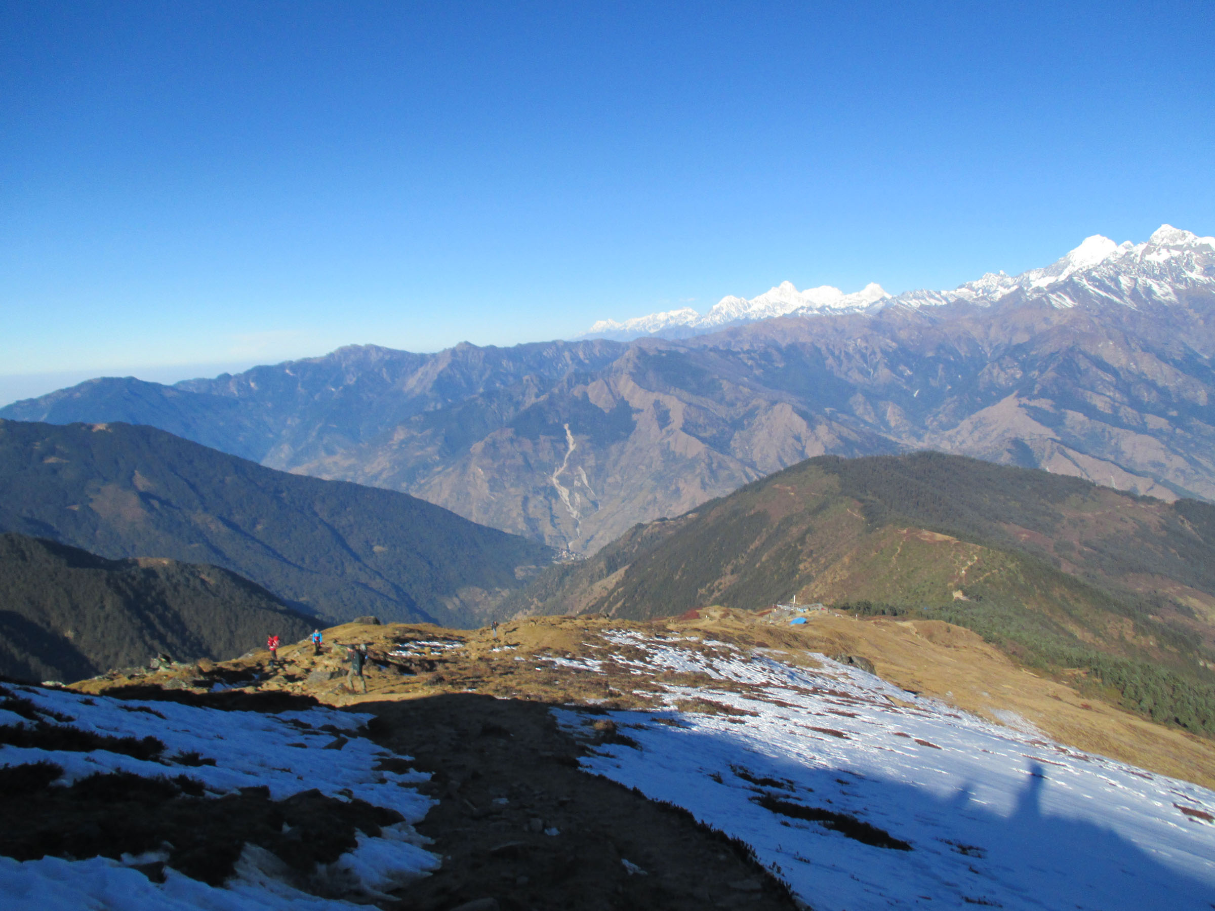
Hiking above Laurebina toward Gosainkund.
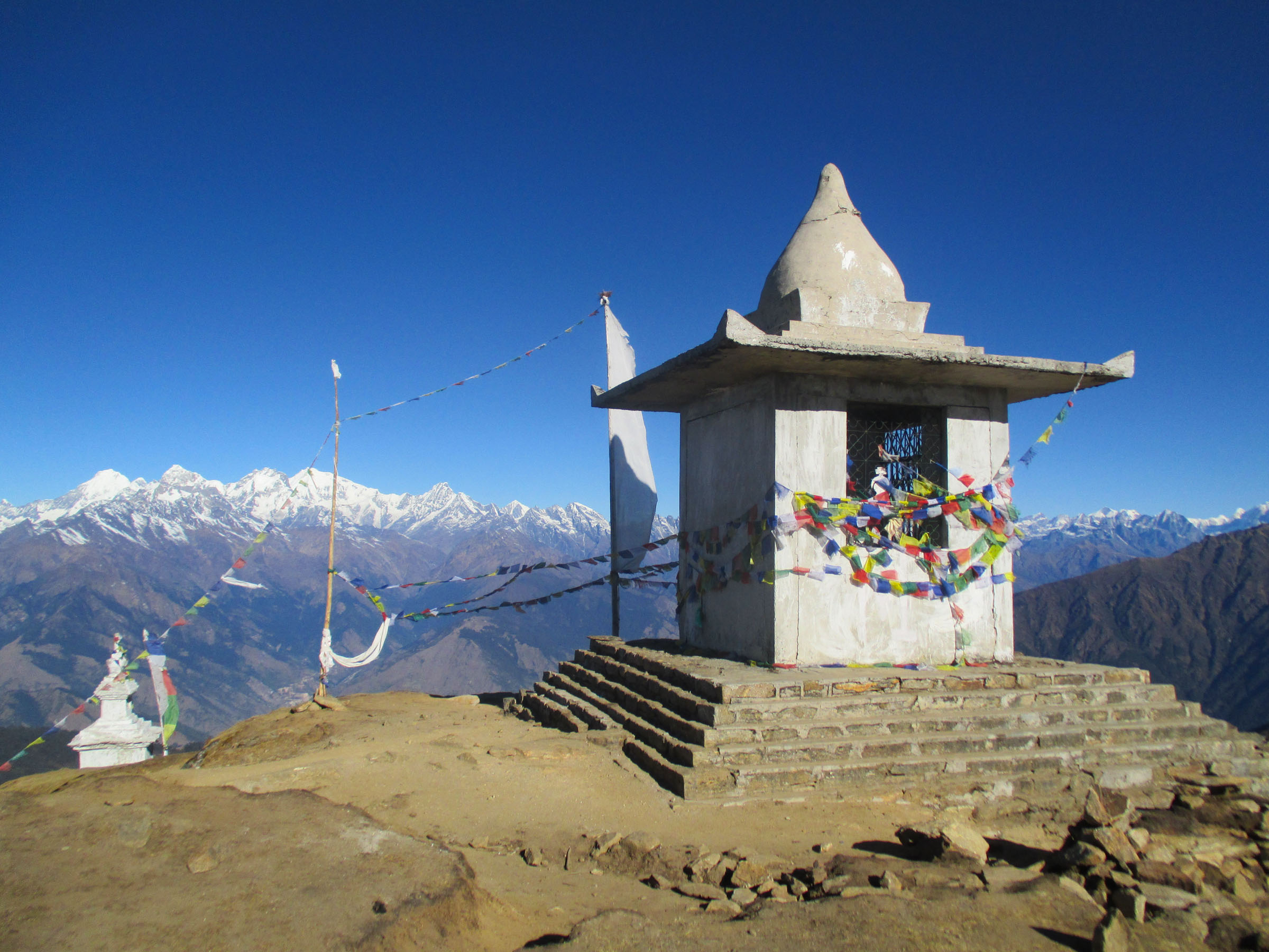
Some stupas above Laurebina.
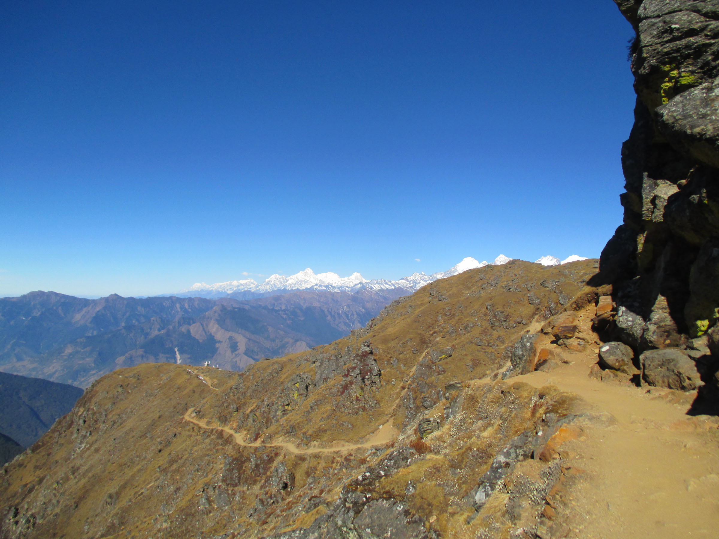
The trail into the Gosainkund area.
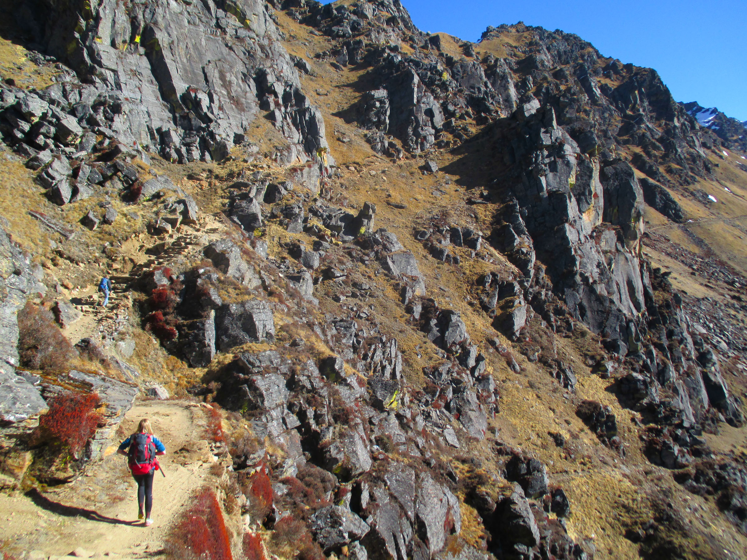
Negotiating black rocks en route to Gosainkund.
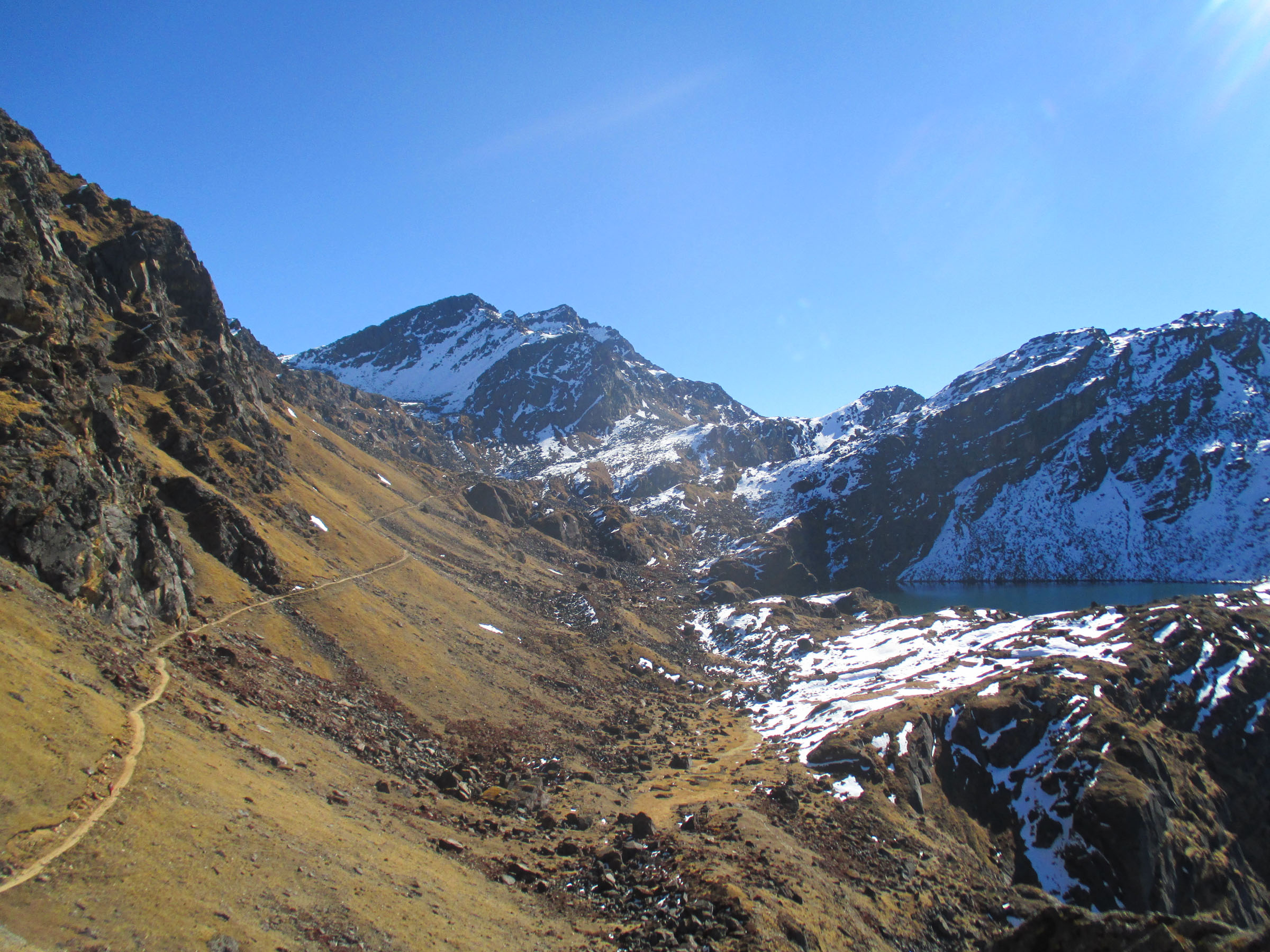
The first glimpse of the first of the Gosainkund lakes.
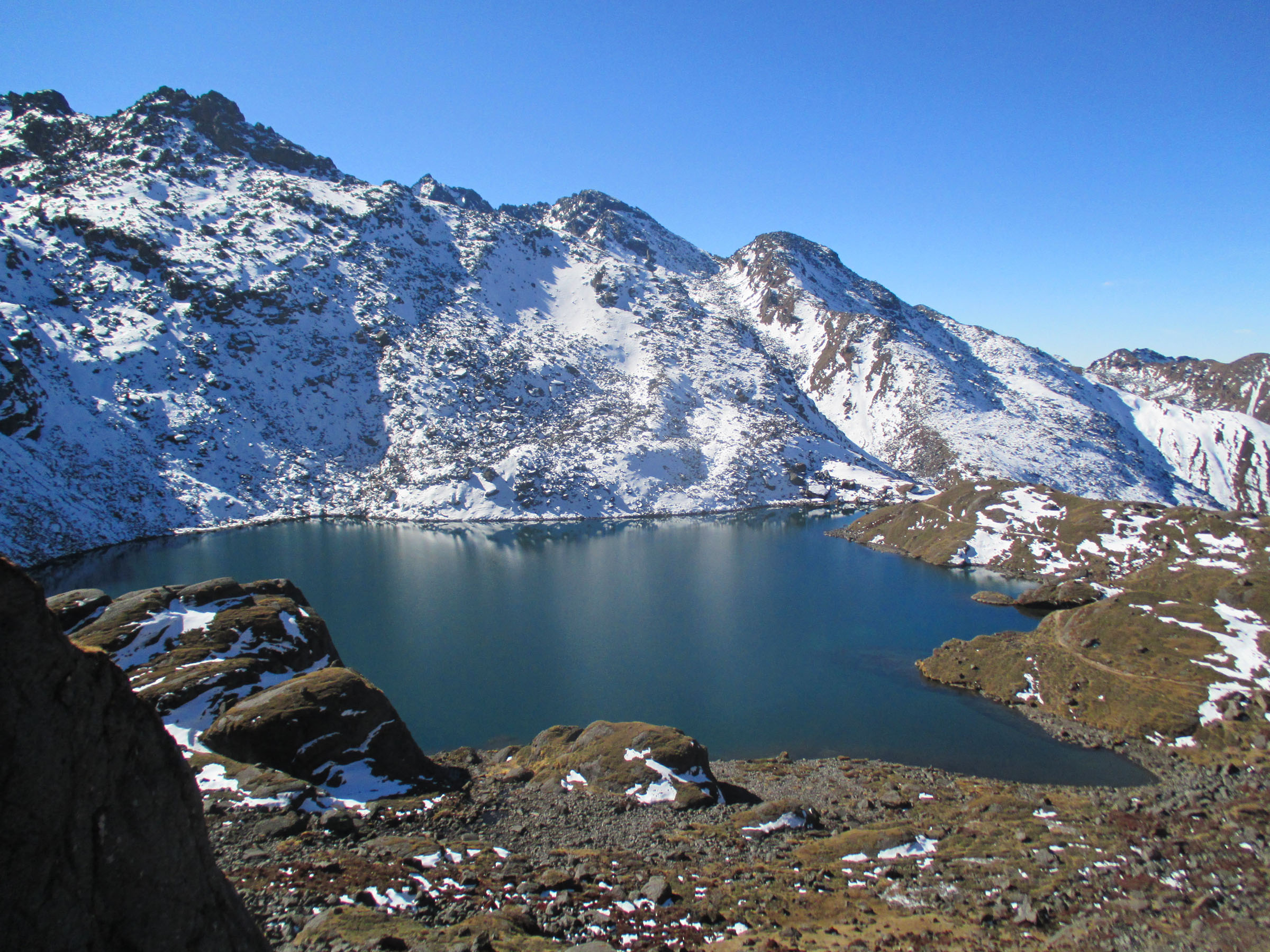
The first Gosainkund lake, which looked like a dinosaur footprint.
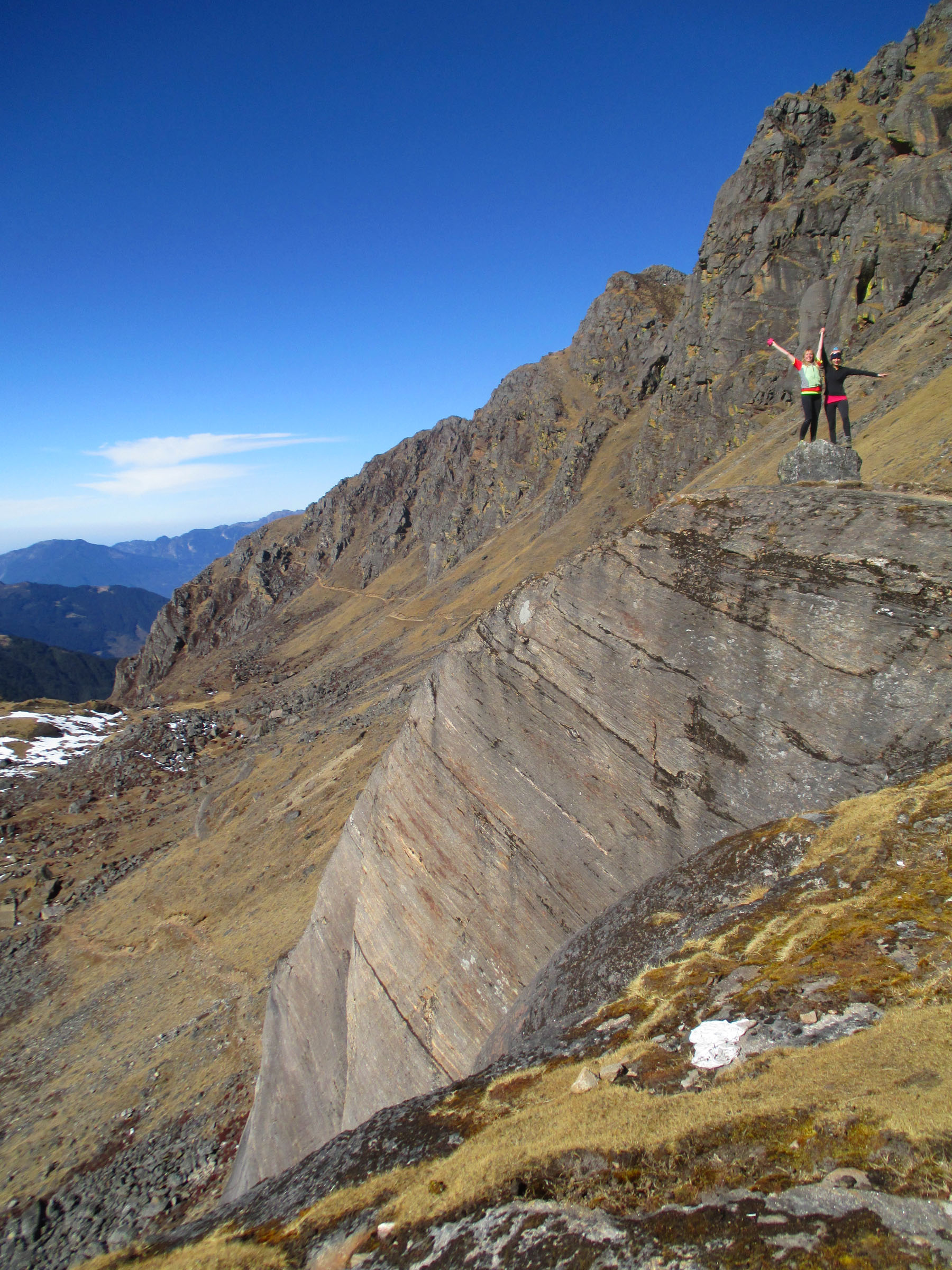
Sally and Jo on top of a rock.
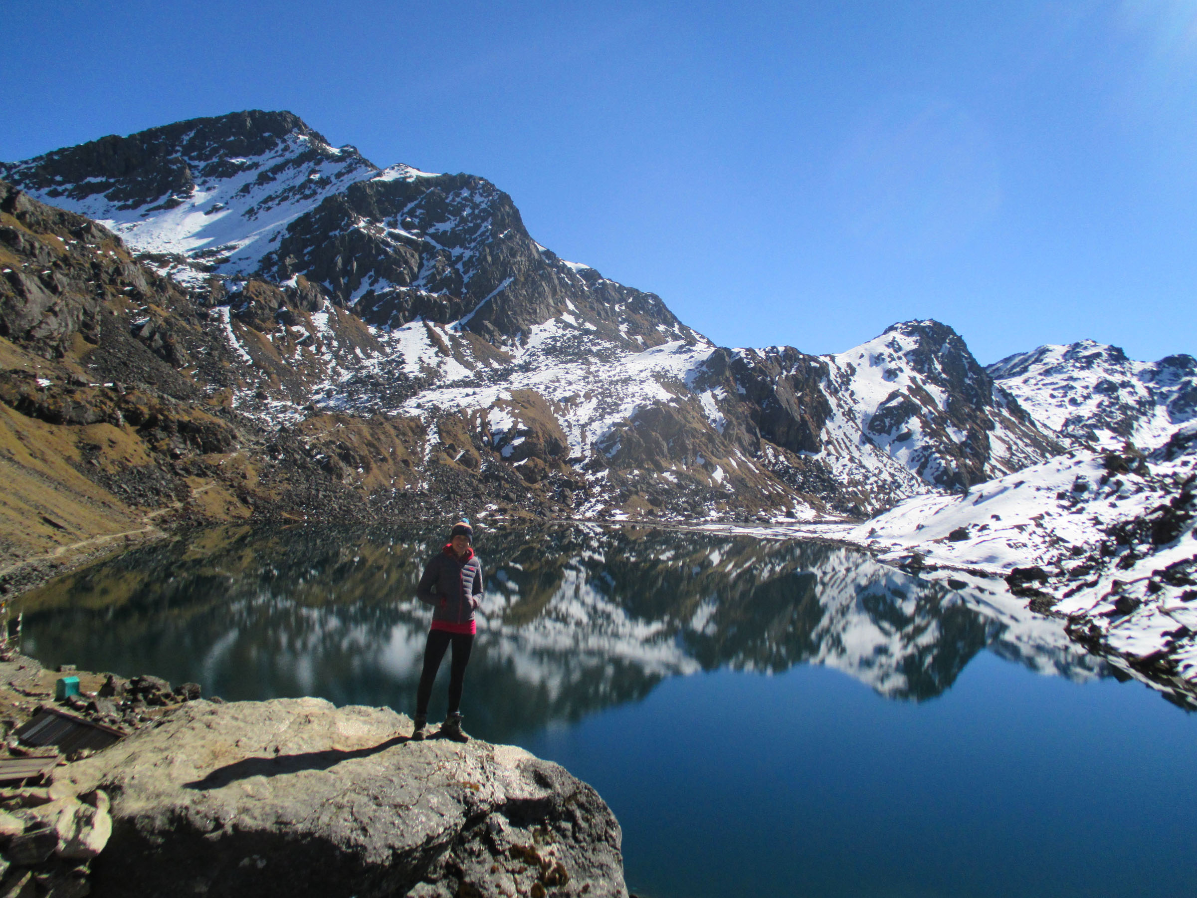
Jo in front of Gosainkund.

Hanging out in front of Gosainkund.
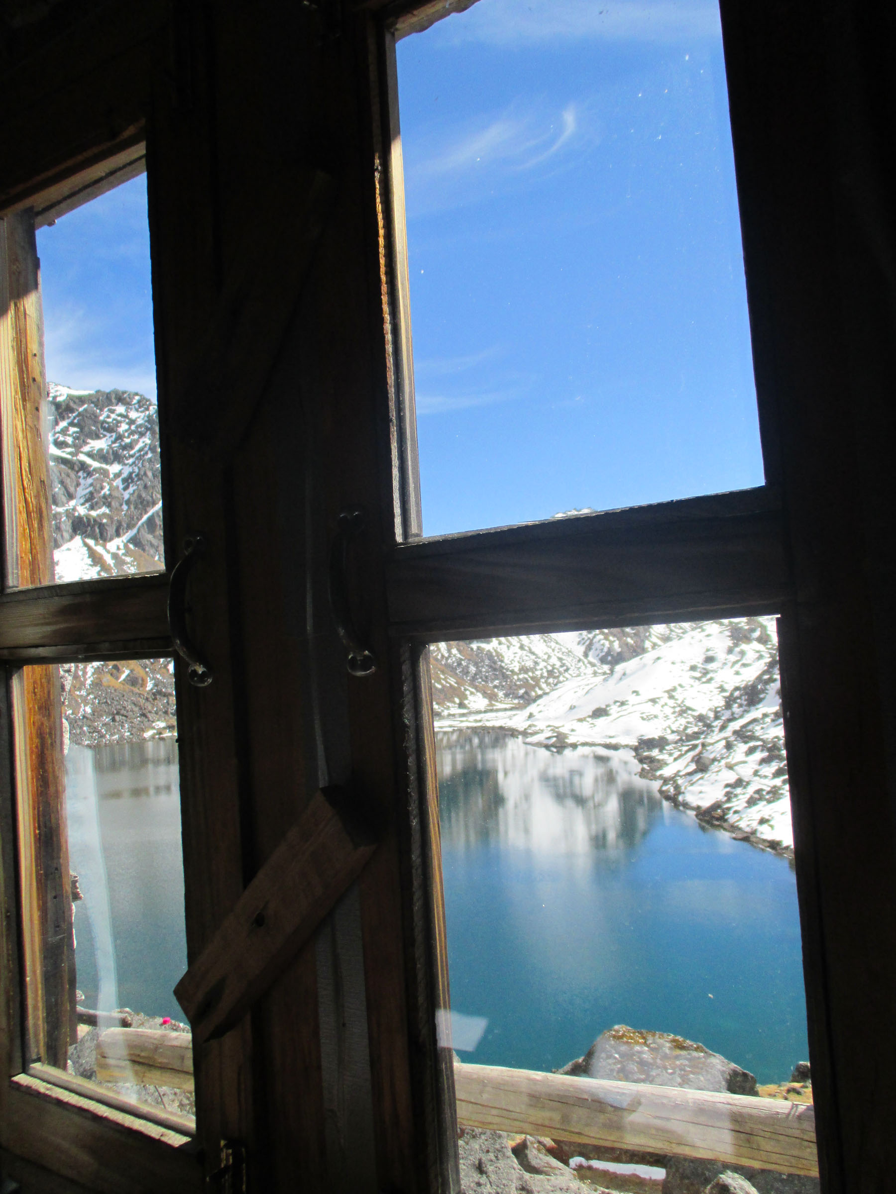
The view from my room in the guesthouse.
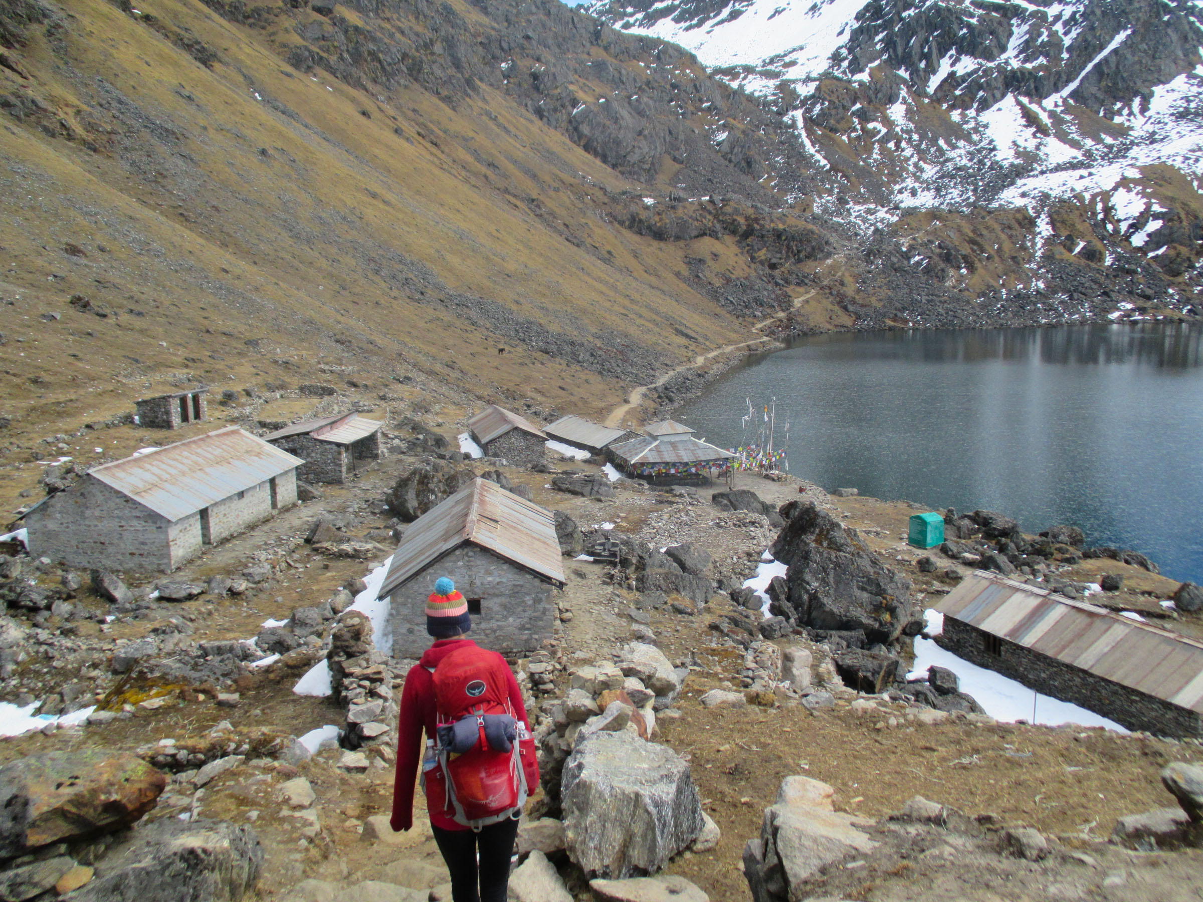
Walking along the north side of the lake.
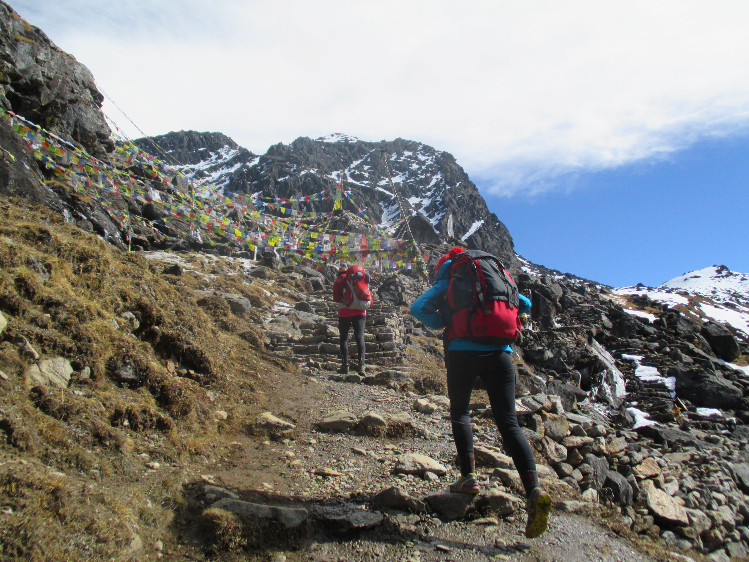
Ascending toward the shrines on the east side of Gosainkund.
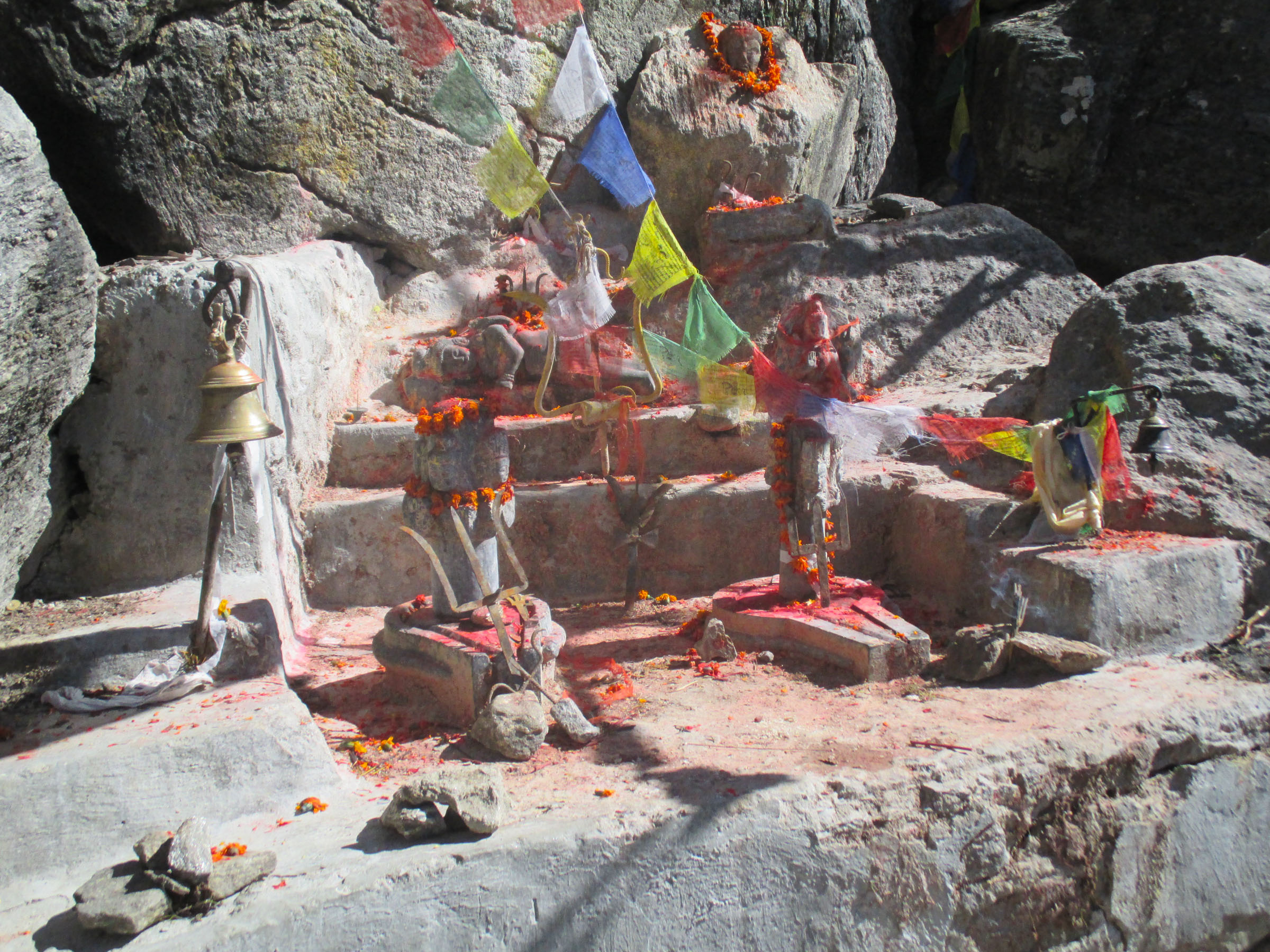
The Hindu-Buddhist shrine.
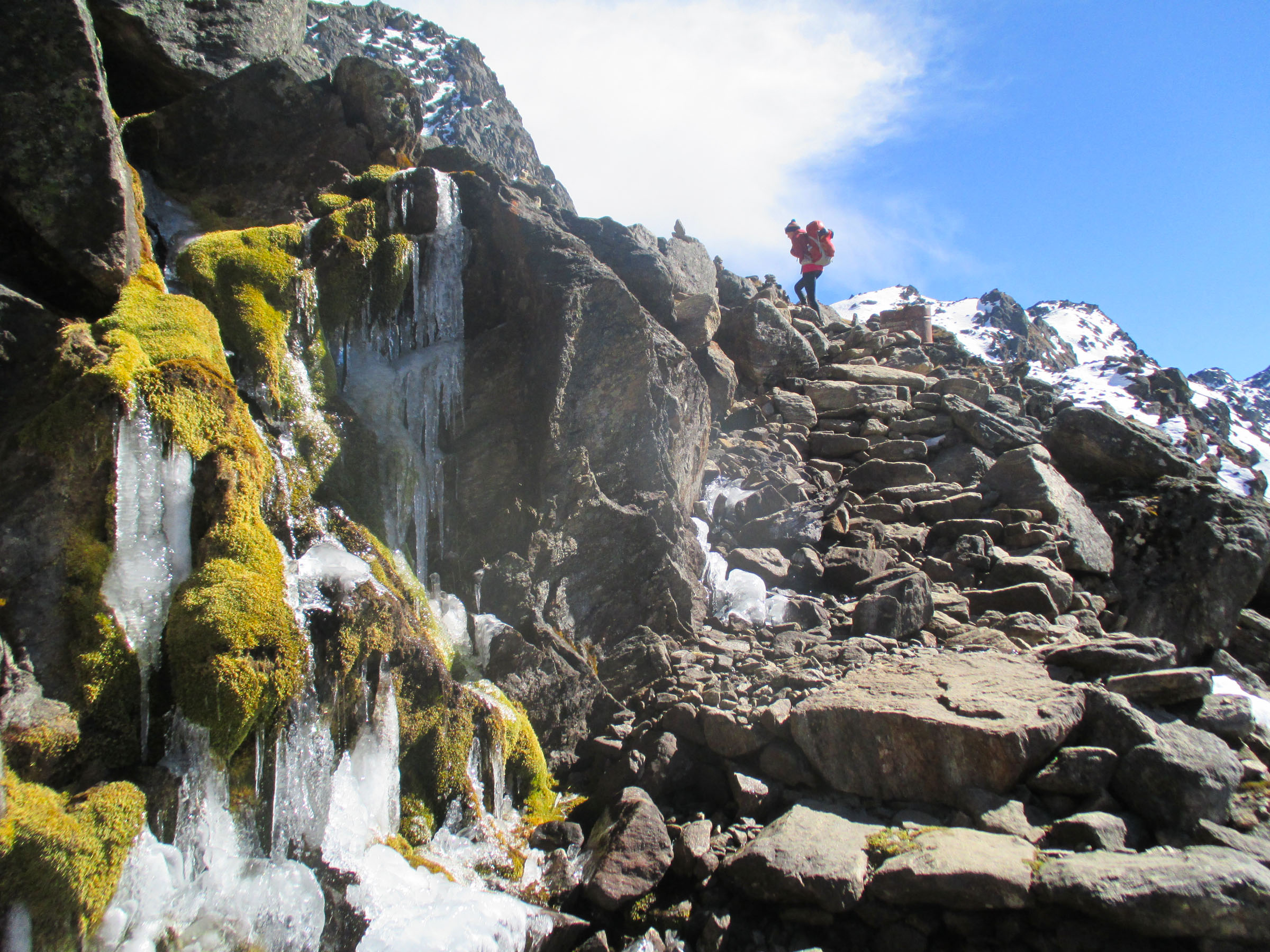
A seeping wall of ice just past the shrine.
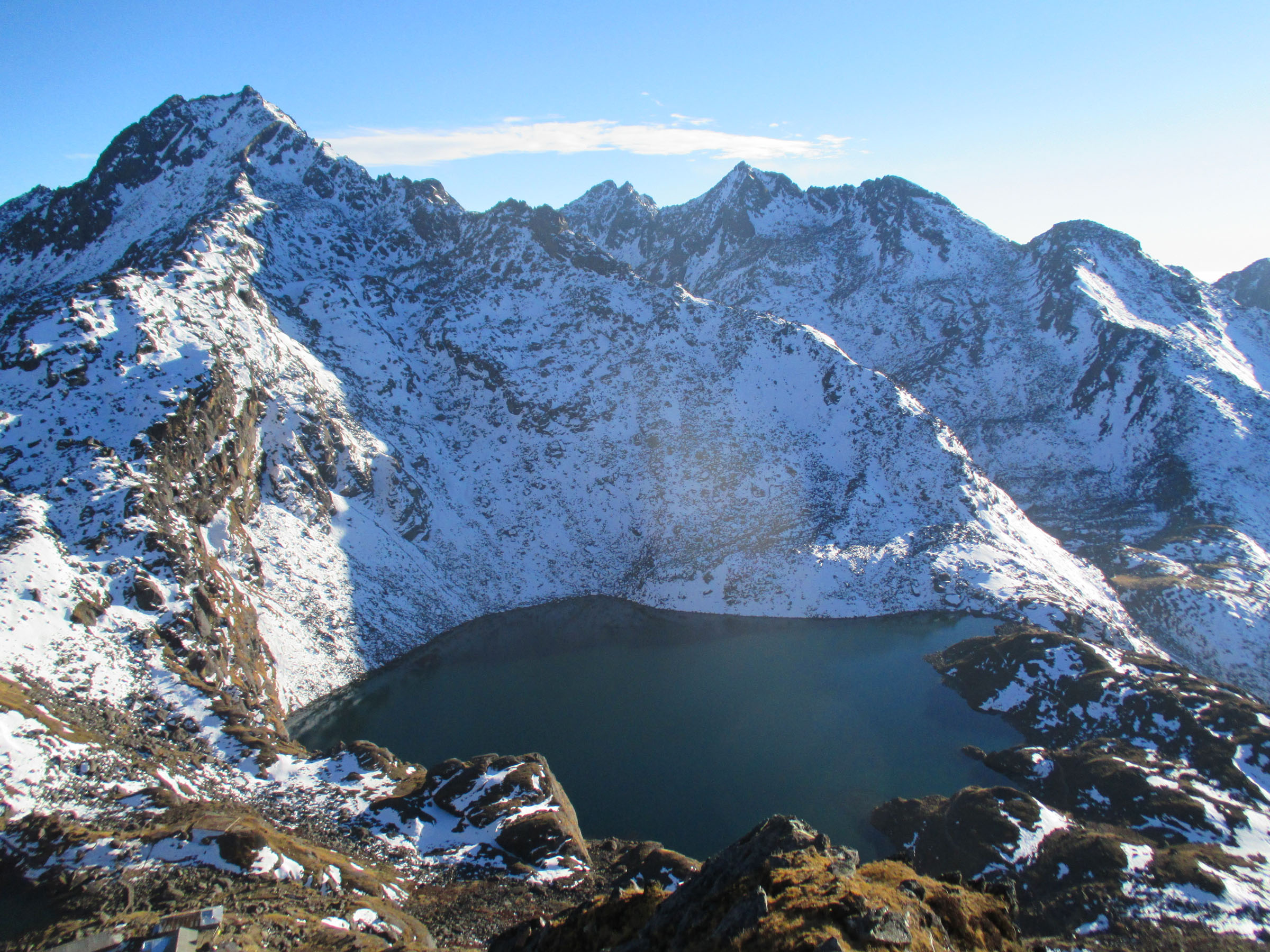
Looking down into the icy corner of Gosainkund.
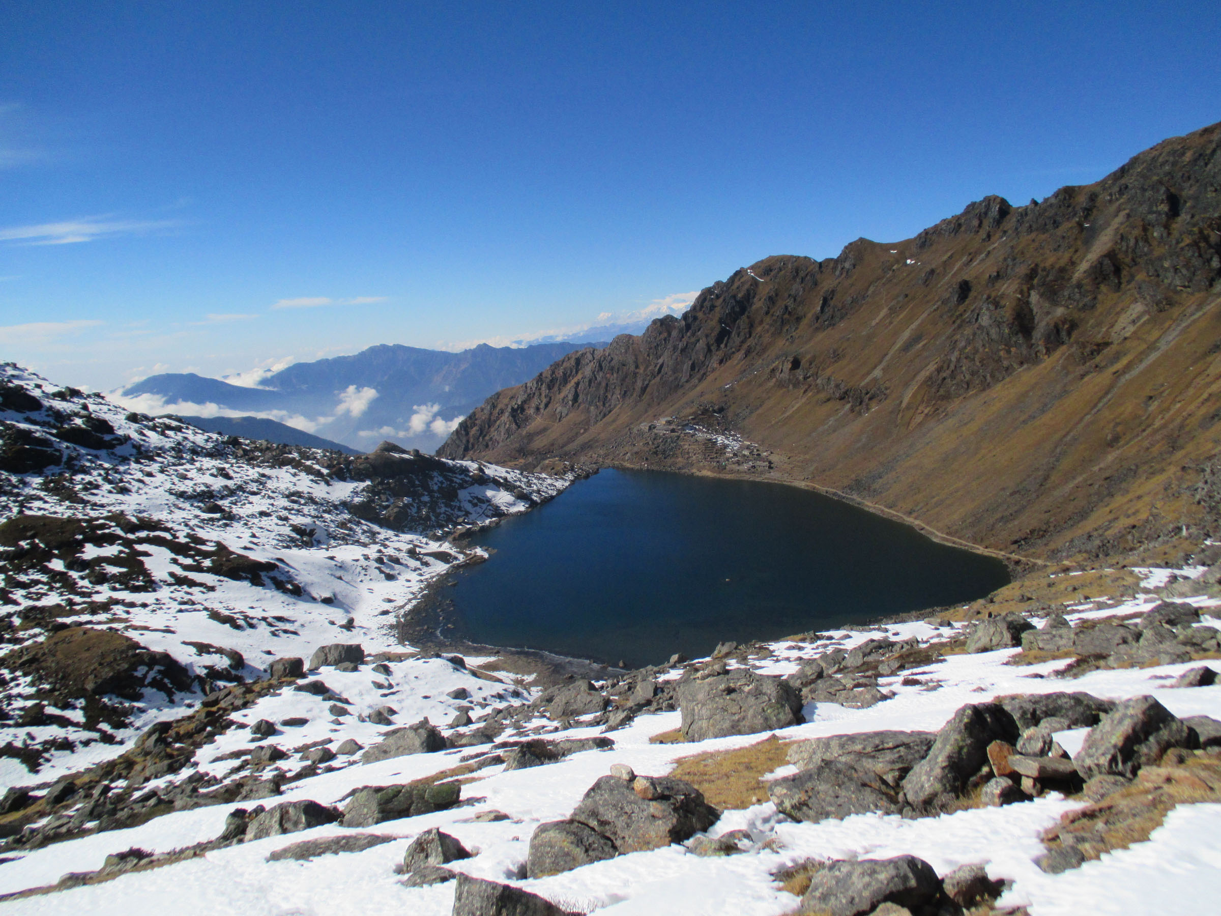
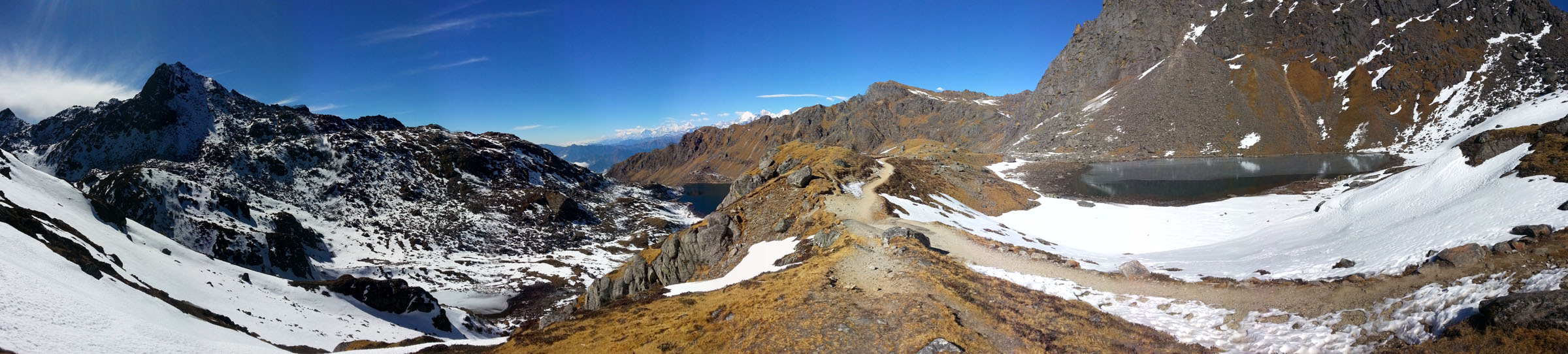
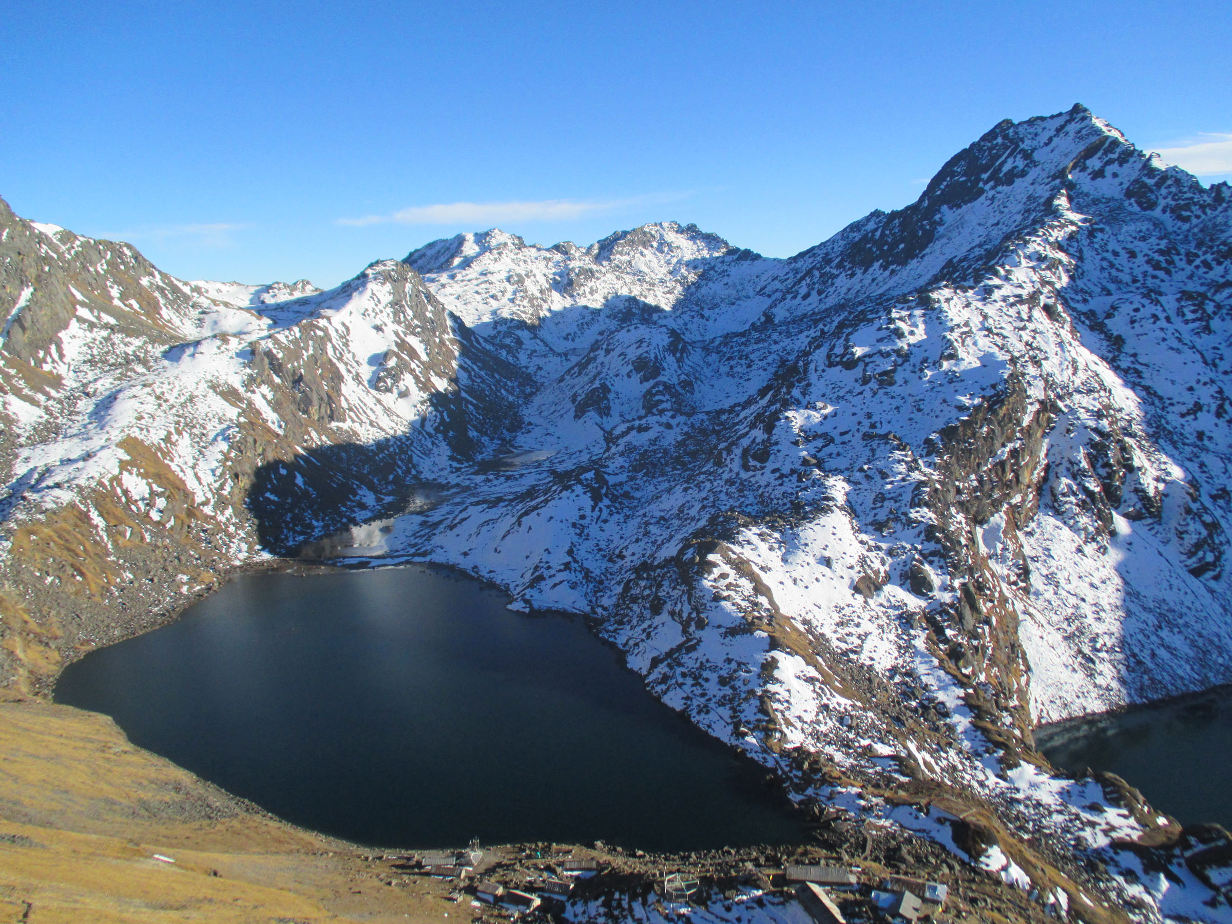
Looking down on Gosainkund.

Climbing up a steep slope above Gosainkund.
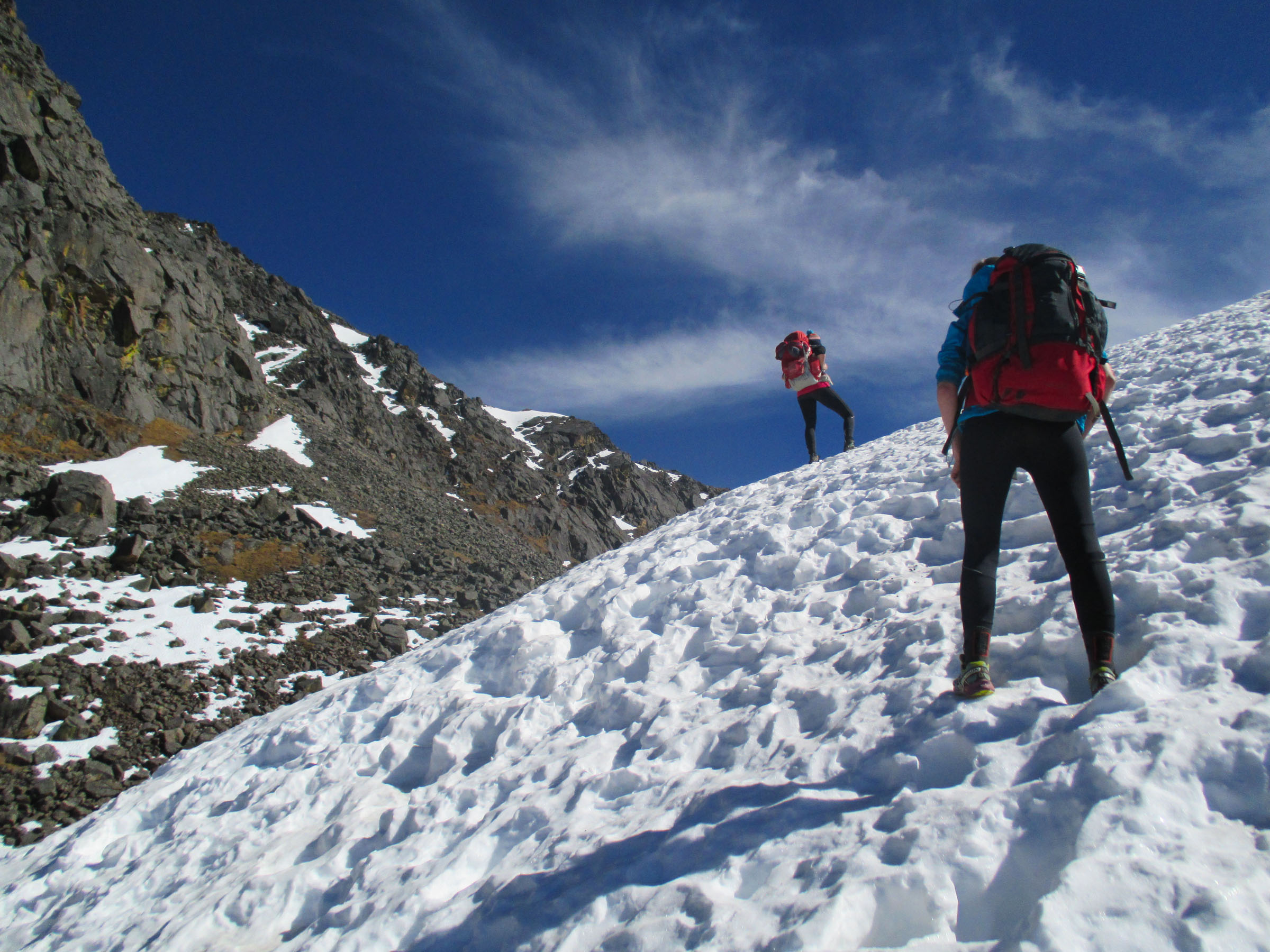
Higher up on the same slope.
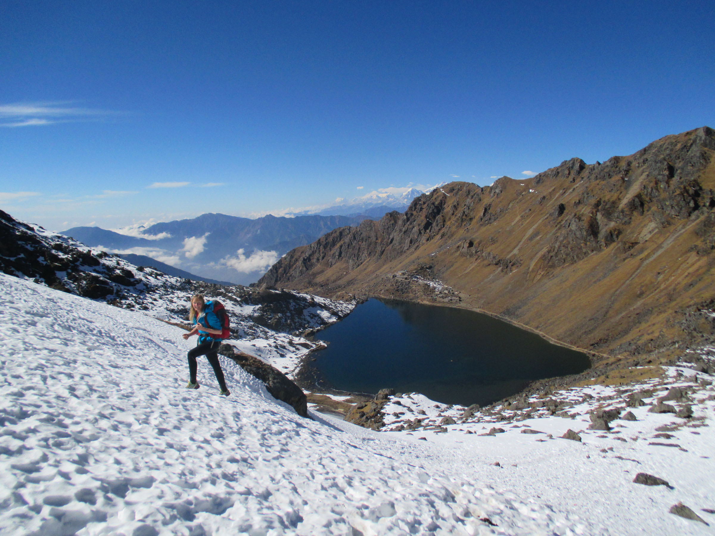
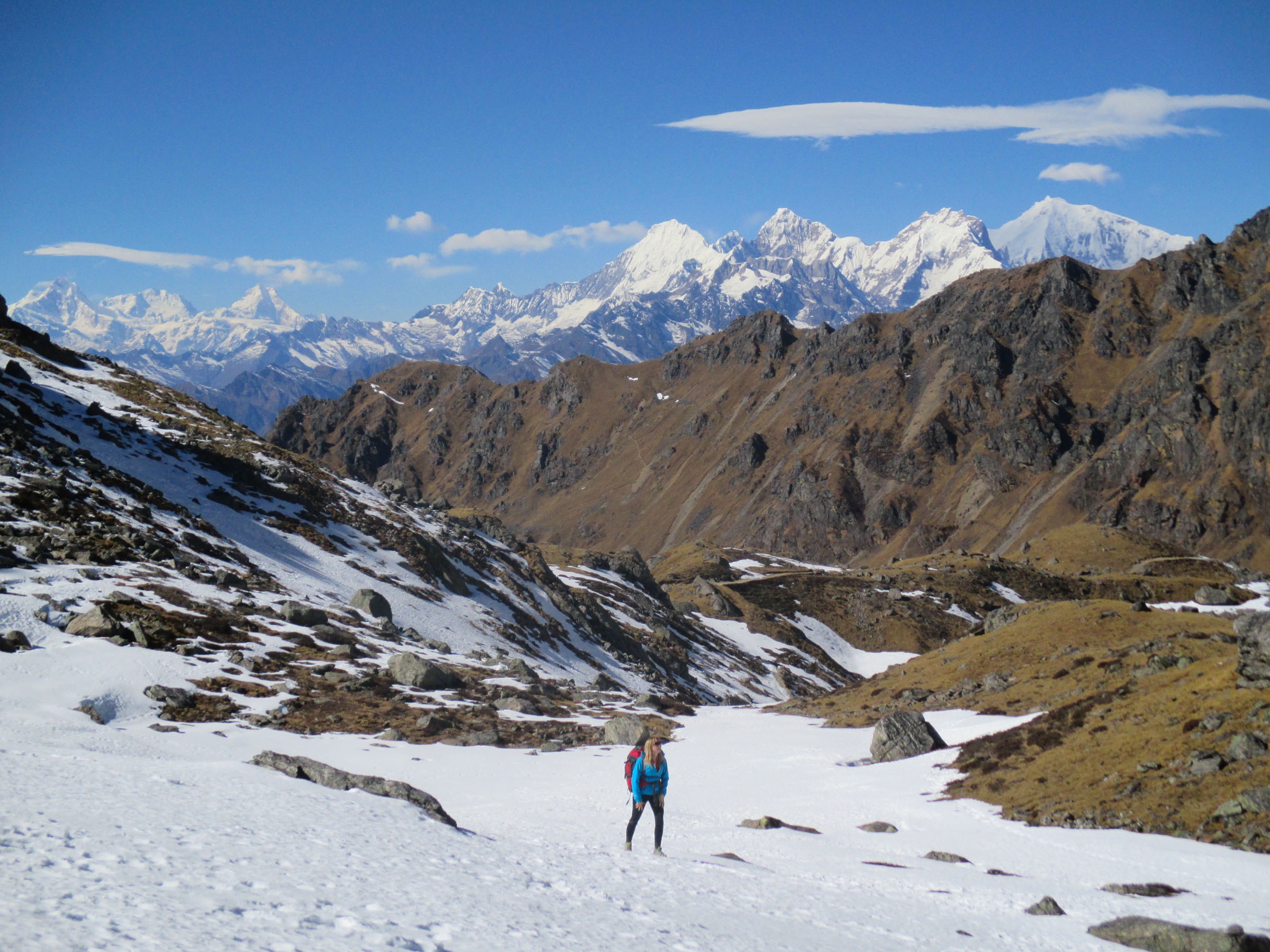
Sally hiking above Gosainkund.
Beautiful scenery beyond Gosainkund.
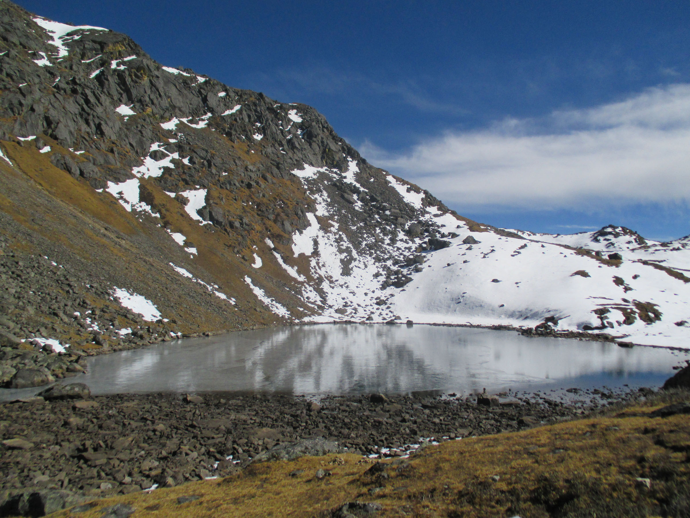
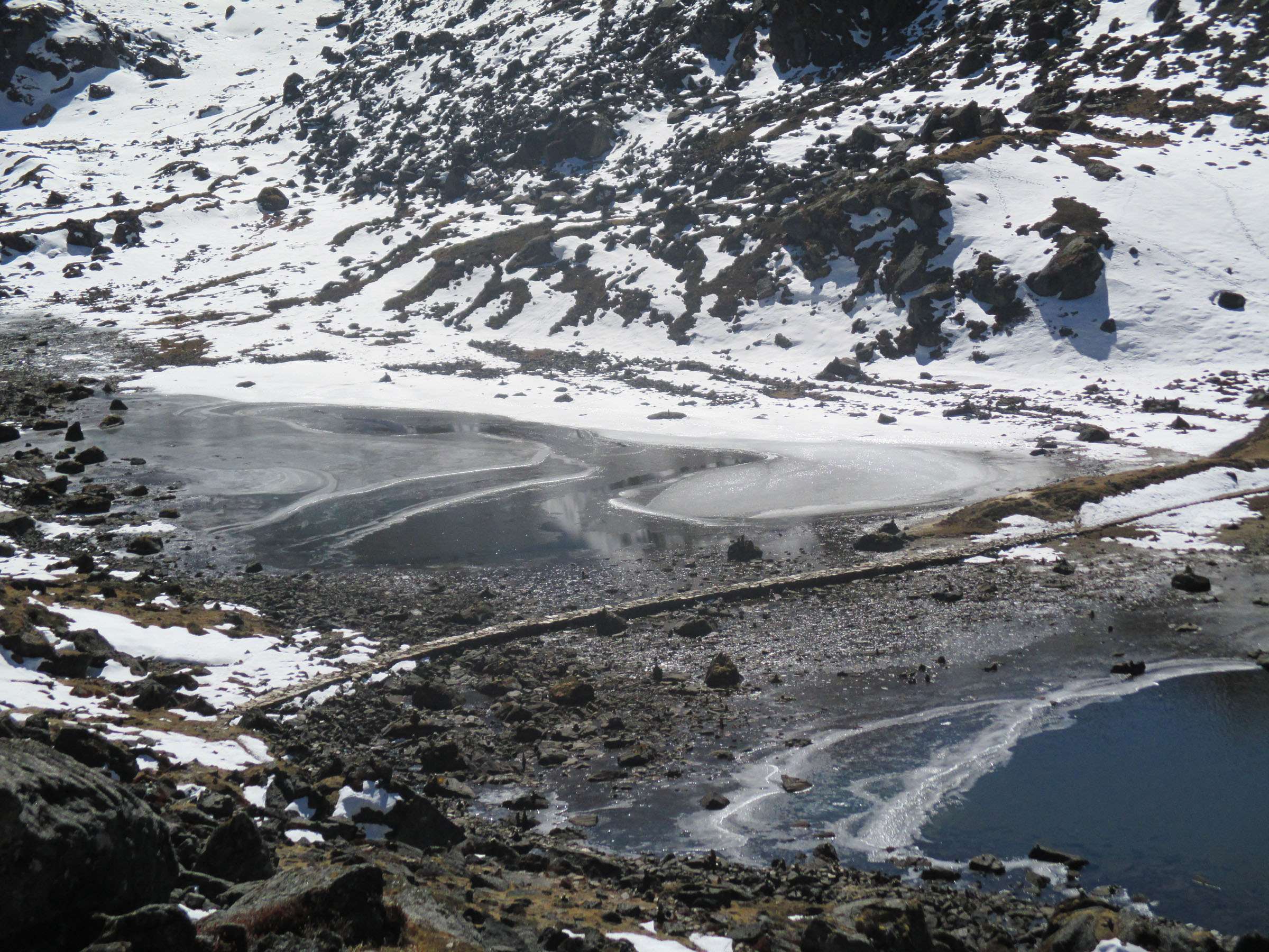
A frozen lake above Gosainkund.
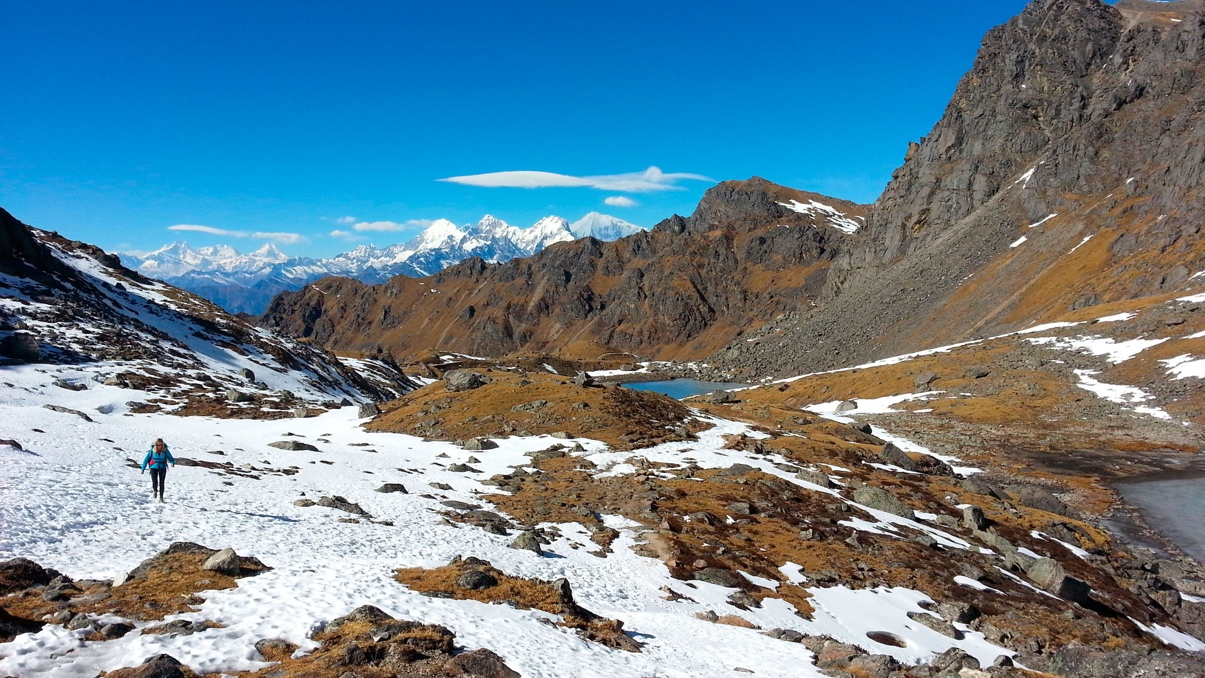
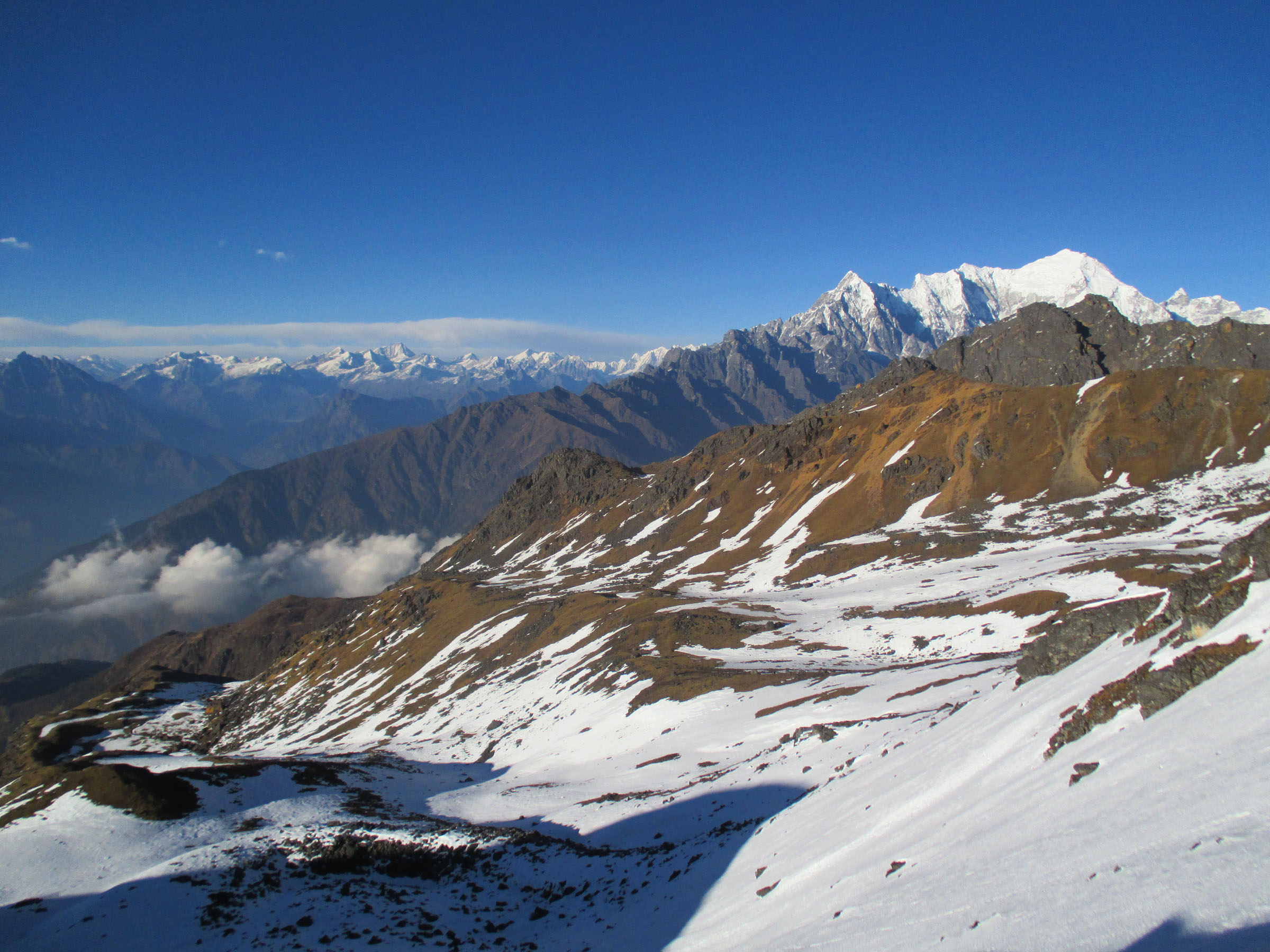
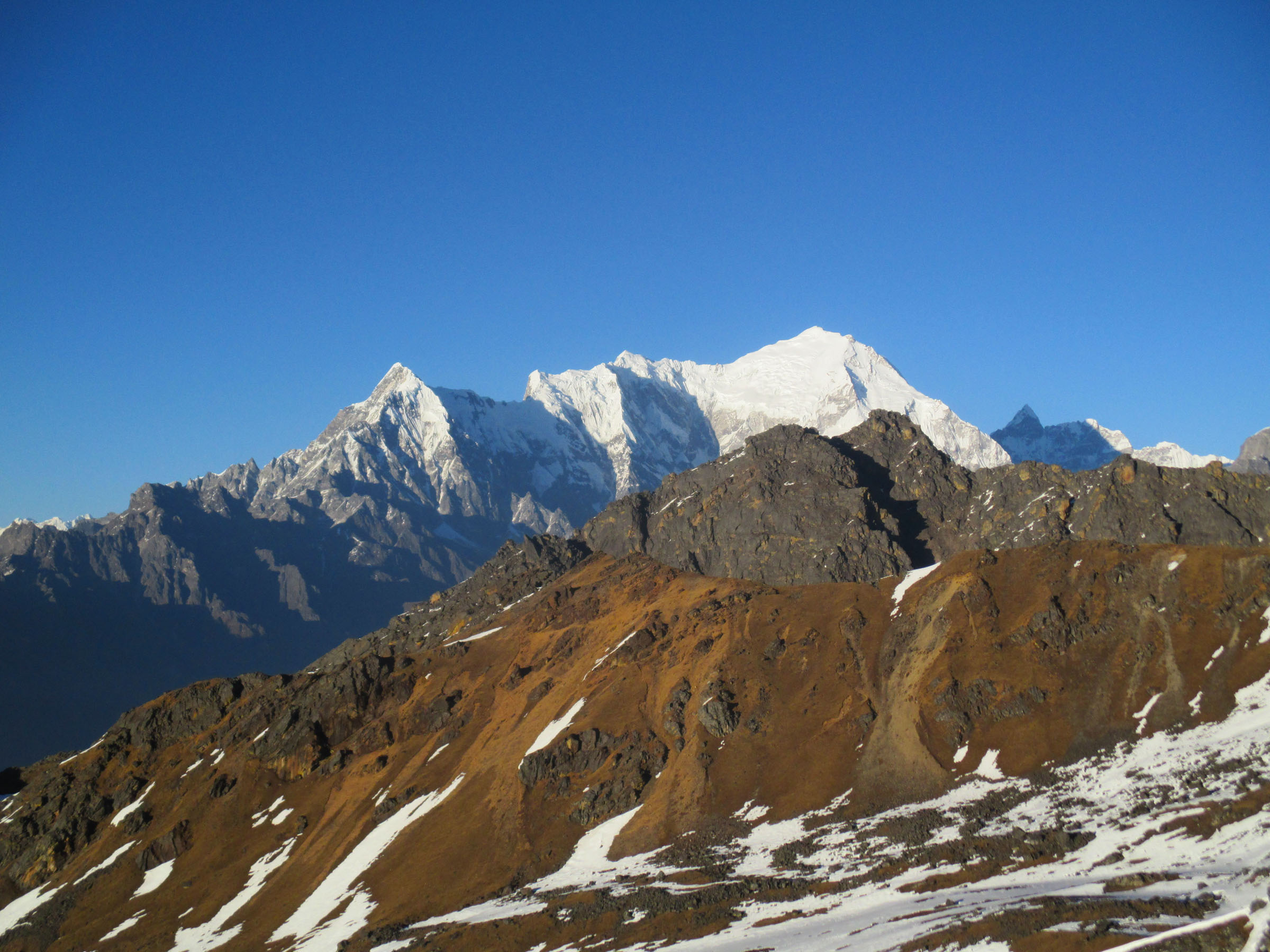
More beautiful scenery. See the three peaks in the far background on the left side of the photo? The right-most of those three peaks is Manaslu (26,781 feet/8,163 m), the eighth highest mountain in the world.
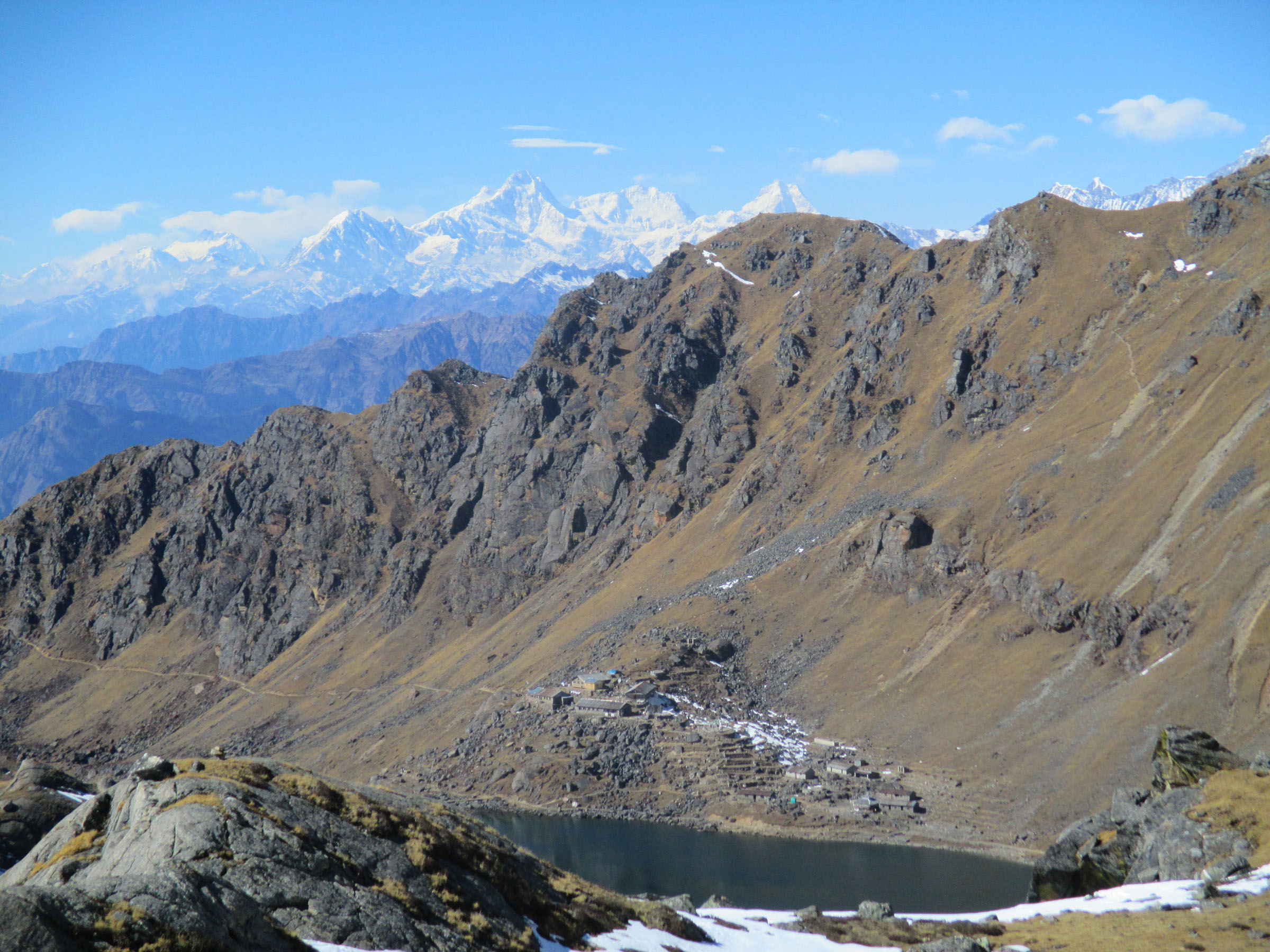
Gosainkund and beyond. Manaslu is the triangular-ish peak right of center along the skyline.
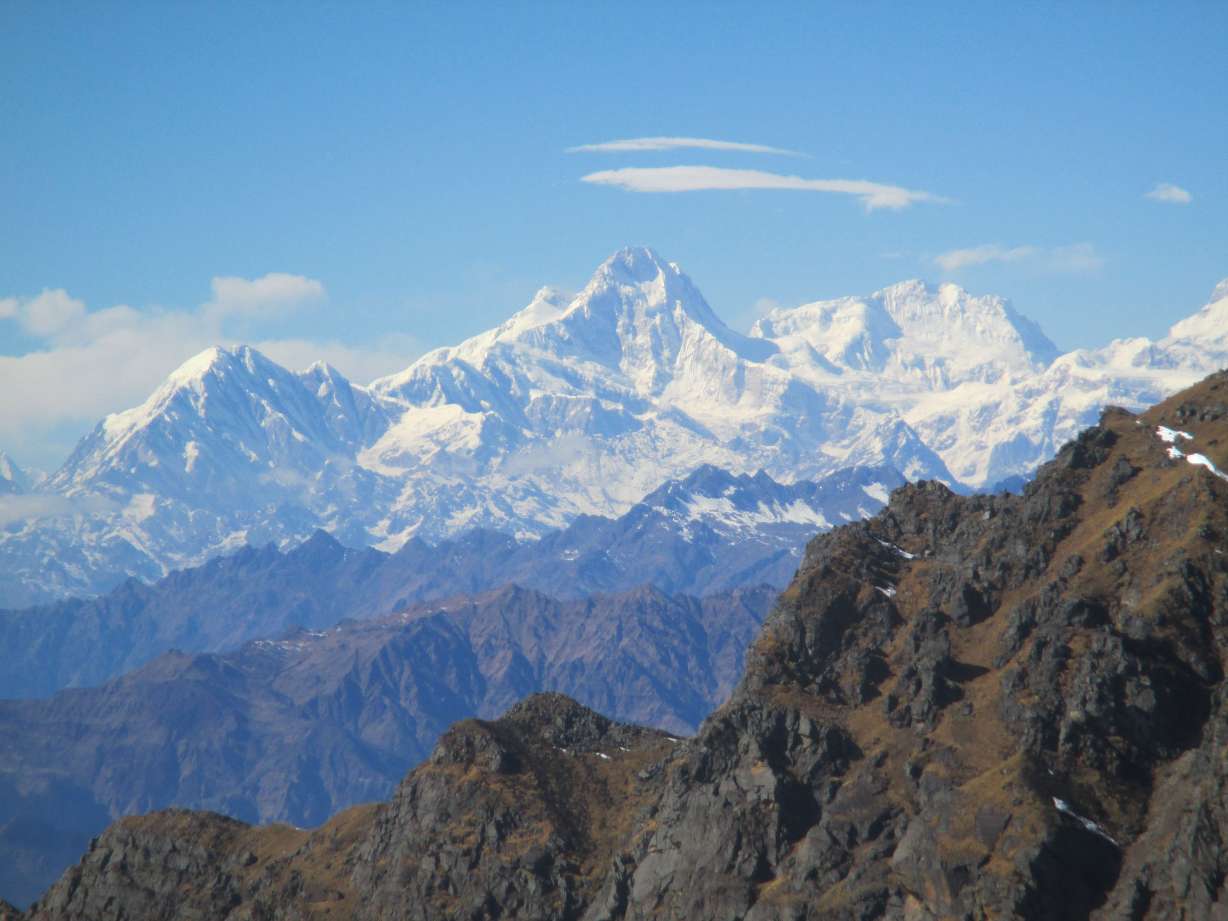
The beautiful Mansiri Himal (Manaslu is just out of frame to the right).
Still climbing.
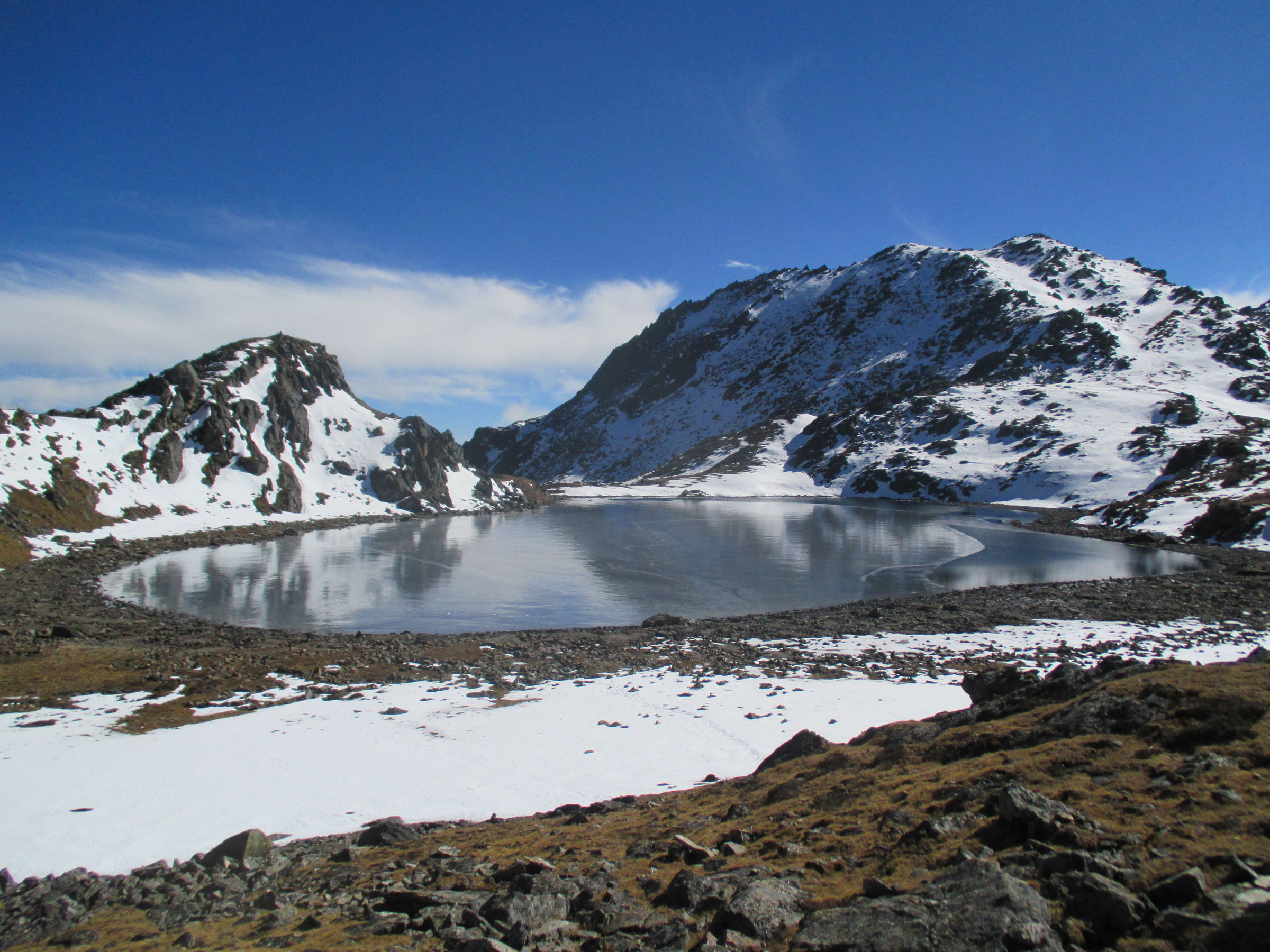
Another frozen lake.
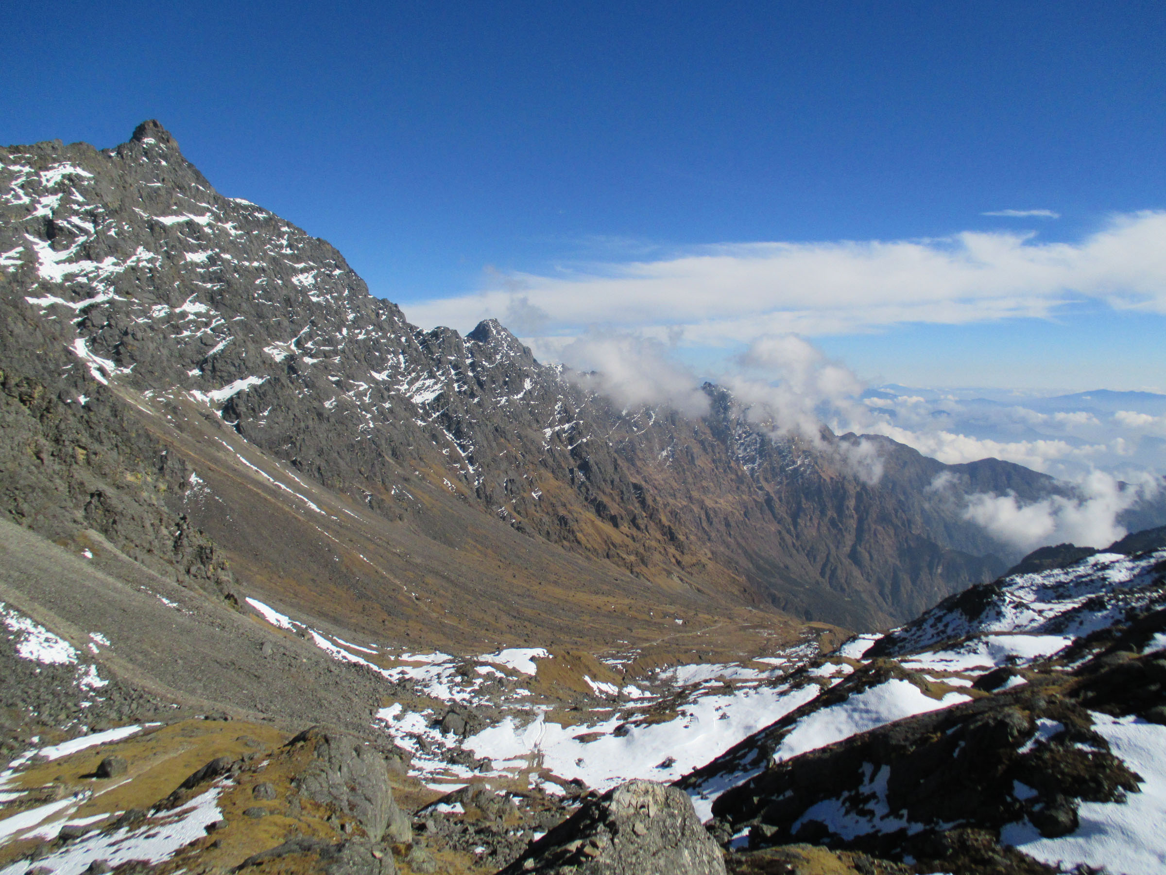
Looking down from Laurebina Pass (15,124 feet/4,610 meters) into the Helambu region.
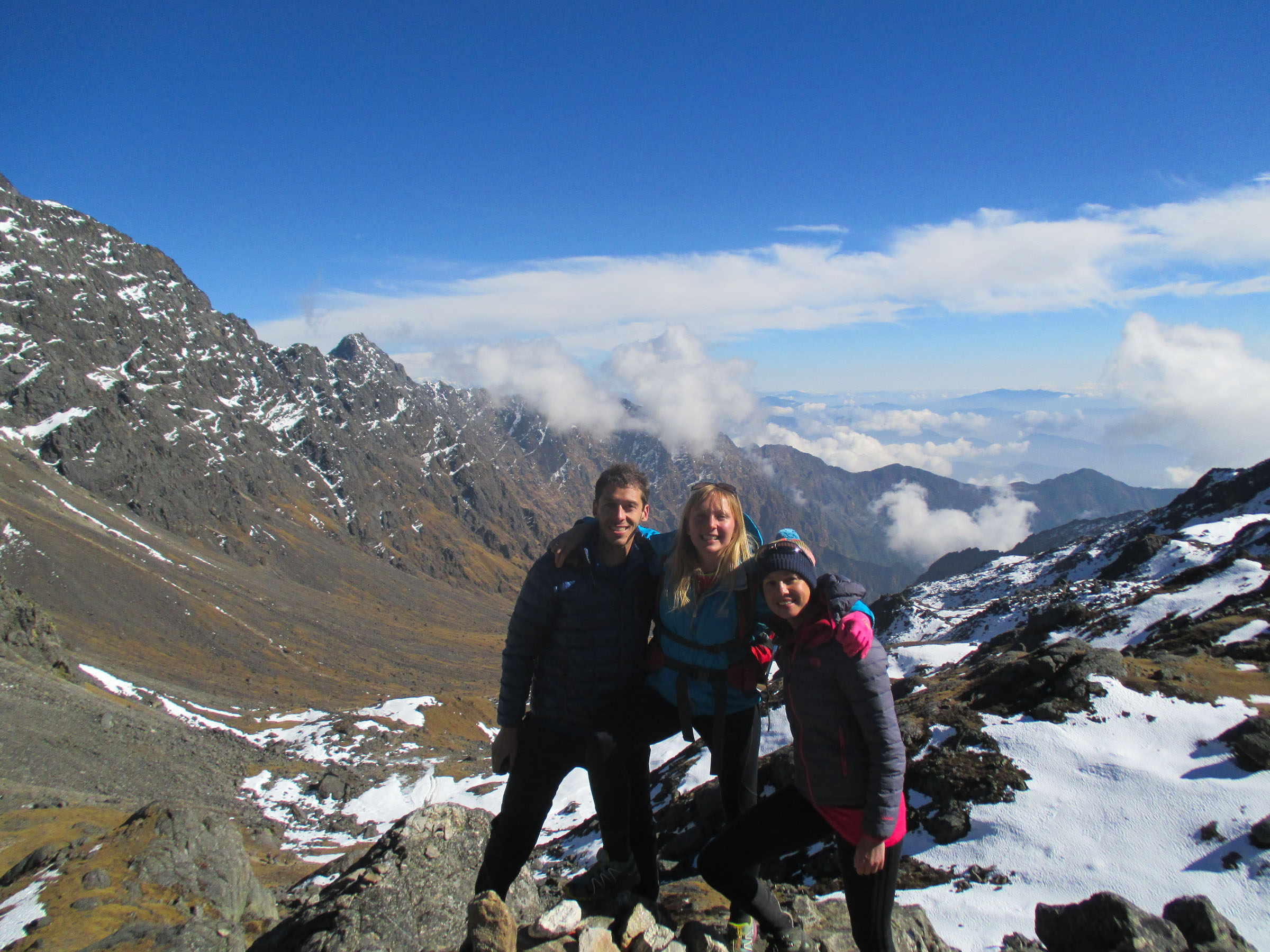
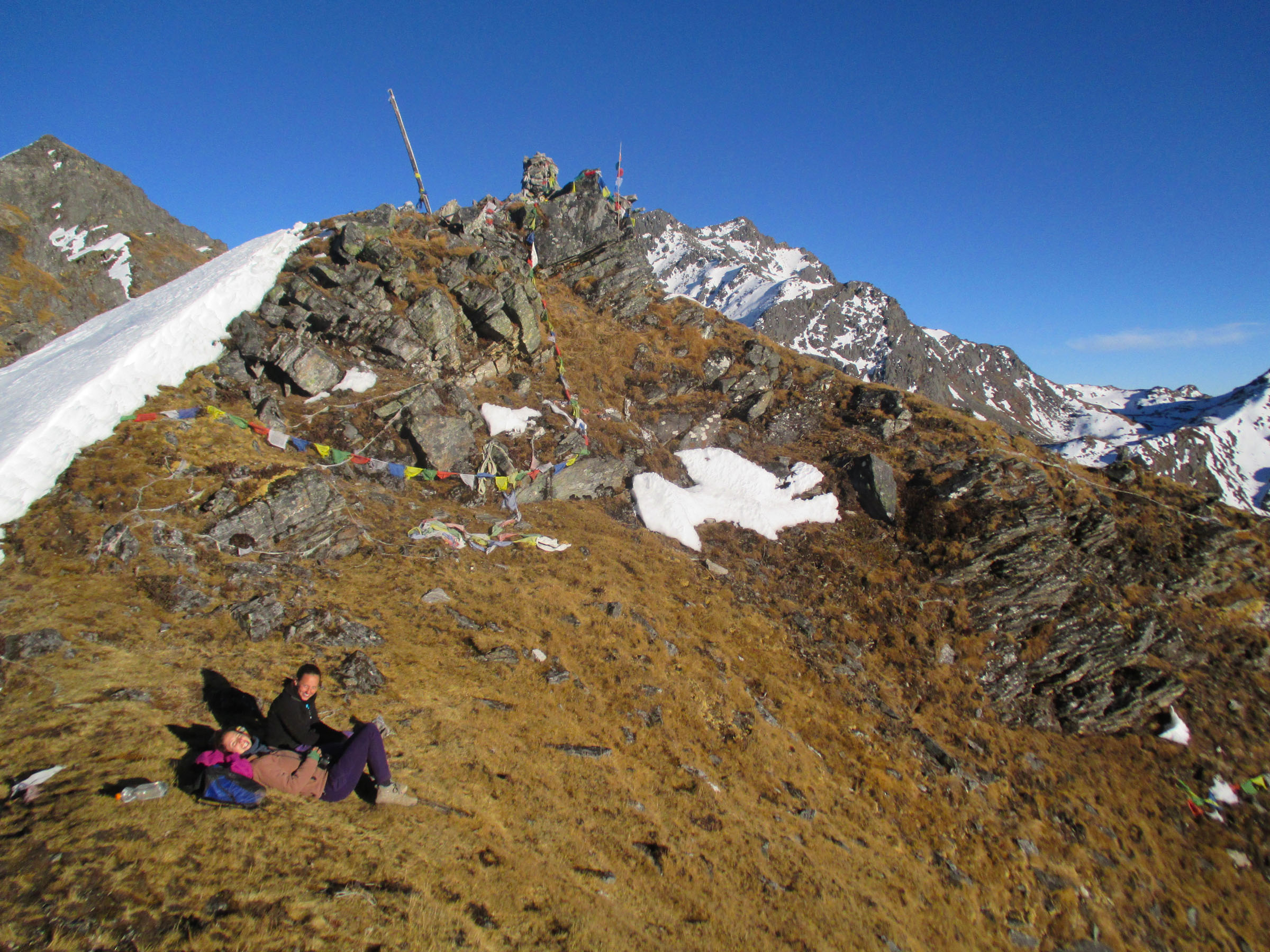
Me, Sally, and Jo at Laurebina La before we separated.
Looking over toward Langtang Lirung and Tibet.
Gosainkund from the point where the Israeli girls and I went to watch the sunset.
Looking down on the dinosaur footprint lake.
The Israeli girls waiting for sunset.
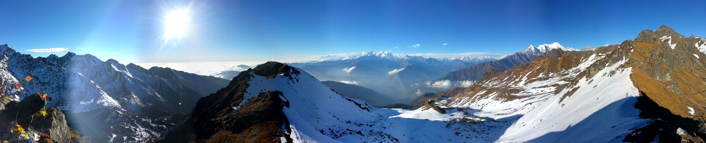
Panorama from the sunset ridge.
Langtang Lirung.
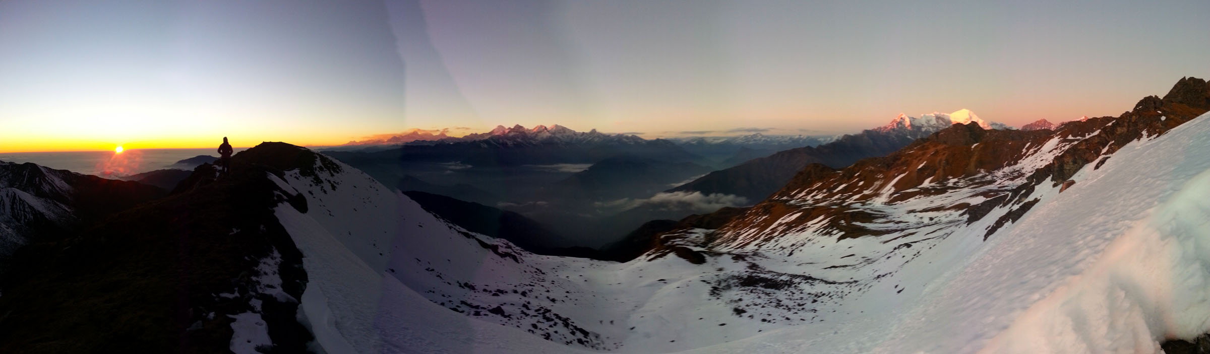
Sunset panorama.
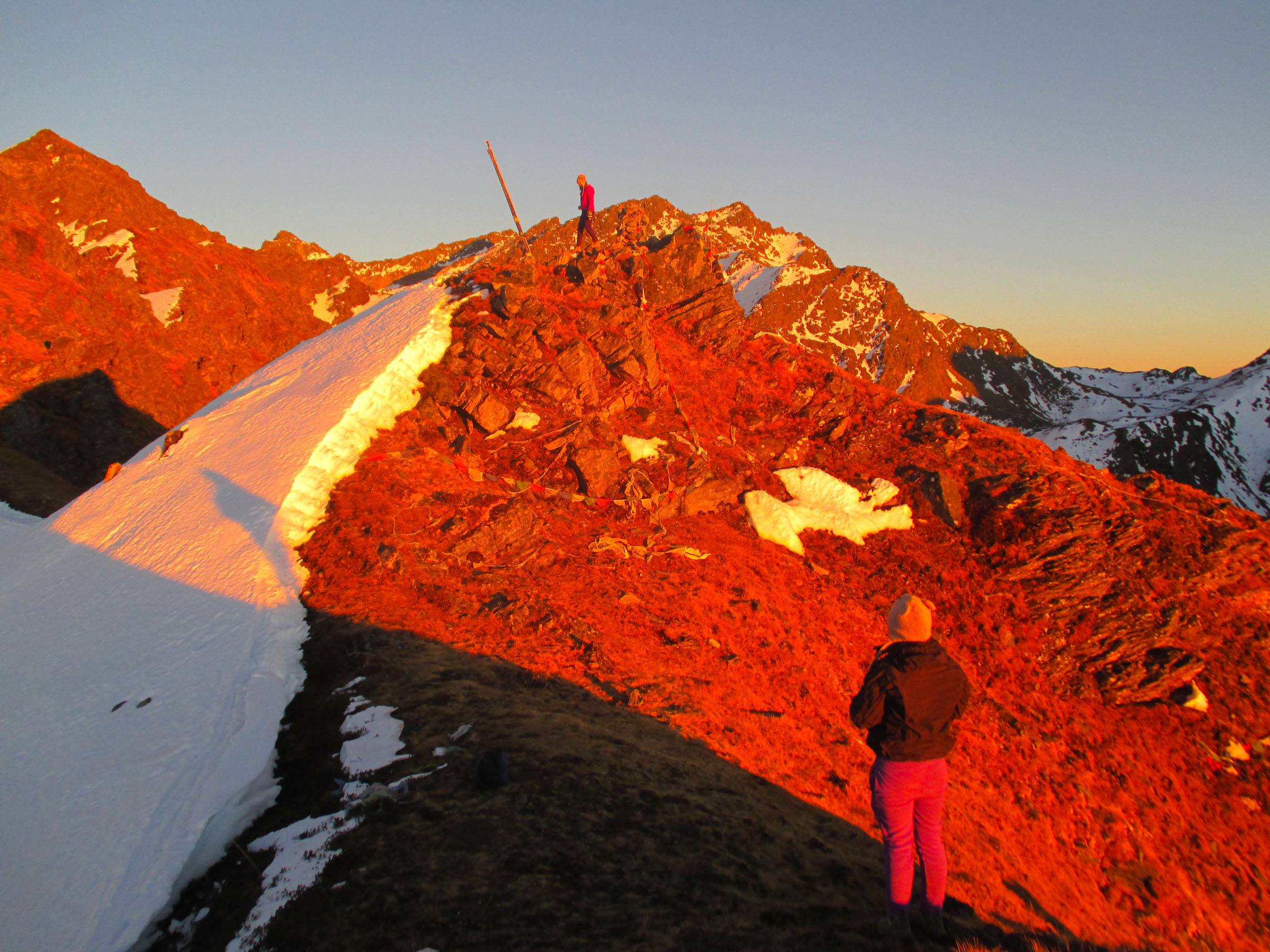
The colors of sunset.